
NISAR Open Data: How NASA and ISRO Are Powering the Earth Observation Economy
- July 22, 2026
- Posted by: admin
- Category: Innovation
A New Data Layer for the Planet
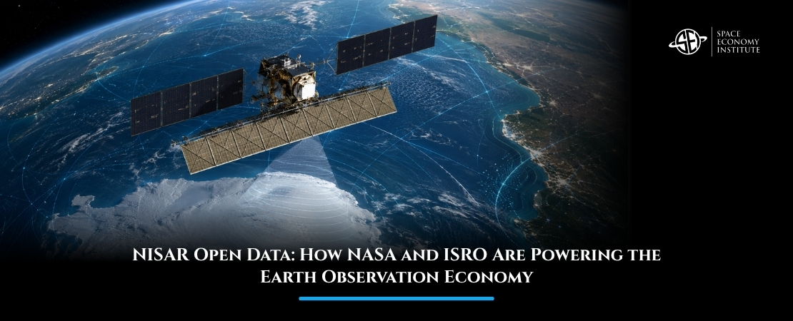
The space economy is increasingly built not only on rockets and satellites, but on the data they produce. As of July 20, 2026, the public can access data from the two radar instruments aboard NISAR, the NASA-ISRO Synthetic Aperture Radar satellite. With U.S. and Indian teams releasing L-band and S-band radar files on an ongoing basis, NISAR is now becoming a major open-data asset for tracking land, ice, ecosystems, and natural hazards.
Why NISAR Matters
NISAR is a joint mission between NASA and the Indian Space Research Organisation, designed to observe changes across Earth’s land and ice surfaces with exceptional precision. Unlike optical satellites, which depend on sunlight and clear skies, radar satellites can collect measurements through clouds and in darkness. That makes them especially valuable for monitoring fast-changing and hard-to-access environments.
The mission carries two complementary radar systems: an L-band radar provided by NASA and an S-band radar provided by ISRO. Together, they allow researchers and data users to examine different layers and properties of Earth’s surface. This is useful for tracking glacier movement, forest structure, soil moisture, land deformation, earthquakes, landslides, wetlands, and human-built infrastructure.
The scale is significant. NASA states that NISAR monitors nearly all of Earth’s land and ice-covered surfaces twice every 12 days and produces data on the order of dozens of terabytes per day. Over its three-year prime mission, JPL expects NISAR to generate about 100 petabytes of data products, made available free of charge under NASA’s open-science principles.
For the space economy, the message is clear: better data creates better decisions. NISAR turns orbital infrastructure into practical intelligence for governments, companies, scientists, insurers, farmers, emergency responders, and urban planners.
From Satellite Imagery to Decision Infrastructure
Earth observation is moving from beautiful images to operational decision-making. A satellite image is valuable, but a reliable data stream is more valuable. NISAR’s repeated global radar coverage can help transform Earth observation from occasional monitoring into continuous intelligence.
This creates opportunities across the downstream space economy. Agricultural companies can use radar data to monitor crops and soil conditions. Infrastructure firms can track ground movement around bridges, pipelines, roads, dams, and buildings. Insurance companies can improve risk models for flooding, landslides, and subsidence. Governments can use the data to plan climate adaptation and respond more quickly to natural disasters.
The commercial opportunity lies not only in the satellite itself, but in the services built around it: analytics platforms, AI models, geospatial dashboards, risk-scoring tools, environmental monitoring products, and decision-support systems.
Open Data as a Market Accelerator
One of the most important aspects of NISAR is that its data is being made publicly available. Open access lowers the barrier for researchers, startups, universities, public agencies, and companies that may not have the budget to purchase expensive proprietary datasets.
This does not weaken the commercial market. In many cases, it strengthens it. Open satellite data can become a foundation layer on which private companies build higher-value products. The same pattern has already been seen with programs such as Landsat and Copernicus, where free public data helped stimulate commercial geospatial services.
NISAR could play a similar role for radar-based Earth observation. Radar data is technically complex, and many users will need help turning raw measurements into actionable insights. That creates demand for software, cloud processing, data fusion, AI interpretation, training, consulting, and sector-specific applications.
The market context reinforces this opportunity. Grand View Research estimates the Earth observation market at about $5.6 billion in 2026, rising to $7.2 billion by 2030. NISAR’s open-data model could accelerate this growth by expanding access to high-quality radar data and enabling more companies to build commercial applications on top of public space infrastructure.
The Strategic Value of International Collaboration
NISAR also shows how space partnerships are becoming economic partnerships. NASA and ISRO each contributed major mission elements, combining technical expertise, infrastructure, and scientific priorities.
This matters because Earth observation challenges are global. Glaciers, forests, earthquakes, water systems, food security, and climate risks do not stop at national borders. A mission like NISAR creates shared data infrastructure that can support both public good and commercial innovation.
It also strengthens India’s position in the global space economy. By partnering on a high-value Earth observation mission and contributing critical radar capability, ISRO reinforces India’s role not only as a launch and exploration nation, but as a provider of strategic space data infrastructure.
Conclusion
NISAR’s public data release marks an important shift in the space economy: satellites are becoming continuous intelligence systems for Earth. With repeated global coverage, dozens of terabytes of daily data, and about 100 petabytes expected over its prime mission, NISAR can help turn open satellite data into economic value.
If this topic is of interest, you can learn more about Earth observation, satellite data markets, climate intelligence, and commercial space applications in the Master in Space Economy by the Space Economy Institute. Discover more about the Master and explore how space data is transforming the global economy.