
Commercial Satellite Imagery: The New Geospatial Intelligence Battlefield
- September 14, 2026
- Posted by: admin
- Category: Uncategorized
When Earth Observation Becomes Strategic Power
Satellite imagery has moved far beyond maps, weather forecasts and environmental monitoring. A Wall Street Journal report alleges that Chinese entities supplied Iran with satellite images of a U.S.-used base in Jordan before a July attack that killed three American troops. The claims remain politically sensitive and partly disputed, but the economic lesson is clear: commercial geospatial intelligence has become a strategic asset raising urgent questions for security and regulation.
From Pictures to Operational Intelligence
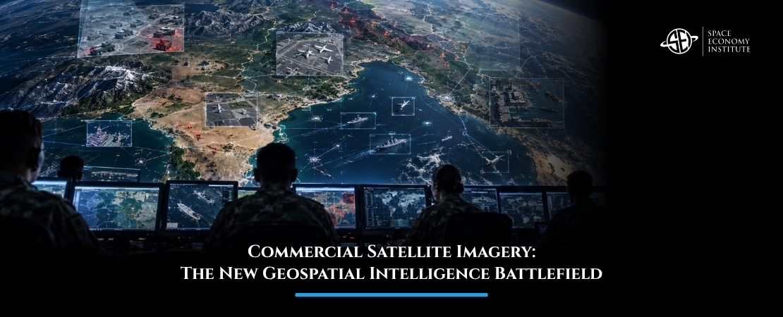
Earth observation used to be defined mainly by images. Today, its value lies in speed, frequency and interpretation. Modern satellite intelligence combines high-resolution imagery, synthetic aperture radar, radio-frequency mapping, thermal detection, artificial intelligence and automated change detection.
That means satellite data can reveal troop movements, port congestion, energy infrastructure damage, wildfire ignition, agricultural stress, illegal mining, ship activity, construction patterns and supply-chain disruption. The same capability that helps insurers assess flood damage or farmers monitor crops can also help militaries understand an adversary’s position.
This dual-use nature is what makes the market so powerful, and so difficult to govern. Most Earth observation companies sell data for civilian, commercial and government uses. But once imagery becomes high-frequency, low-latency and globally accessible, it can also support targeting, battle damage assessment and crisis escalation.
The space economy is therefore not only selling images. It is selling decision advantage.
Why Commercial GEOINT Is Growing
Governments increasingly rely on commercial providers because private satellite operators can deliver capabilities faster than traditional procurement cycles. The U.S. National Reconnaissance Office has already awarded major commercial imagery contracts to companies such as Maxar, Planet and BlackSky through its Electro-Optical Commercial Layer program. The National Geospatial-Intelligence Agency is also expanding access to commercial geospatial intelligence, analytics and computer vision through programs such as Luno and CIBORG.
This is not a niche market. Defense agencies need persistent monitoring. Climate agencies need environmental intelligence. Energy companies need infrastructure visibility. Financial institutions use satellite data to monitor commodities, shipping and industrial activity. Humanitarian organizations use imagery to verify damage and coordinate response.
Commercial GEOINT grows because it serves many markets at once. A satellite image of a port can matter to a shipping company, a hedge fund, a military analyst, an insurer and a government regulator. The same dataset can create different economic value depending on the customer.
The Governance Problem
The latest allegations around Chinese satellite imagery and Iran highlight a hard question: who controls access to strategic knowledge?
Remote sensing companies operate across jurisdictions. Some are directly state-linked. Others are private but subject to national laws, export controls, licensing rules and customer screening obligations. In a crisis, the difference between civilian observation and military assistance can become blurred.
Western governments already face this dilemma. Restricting imagery can protect national security, but it can also weaken transparency, journalism, humanitarian monitoring and market competition. Allowing open commercial access can support innovation, but it may also give adversaries operational insight.
This is why regulation will become more important. Governments will need clearer rules on high-resolution imagery, latency, conflict-zone tasking, sensitive-site monitoring, resale, foreign access, and AI-derived intelligence products. The challenge is to manage security risk without destroying the commercial value of Earth observation.
The Business Model Is Shifting Toward Analytics
The most important economic shift is from raw imagery to intelligence services. Customers increasingly want alerts, predictions and decisions, not pixels. They want to know whether a ship has moved, a runway has been damaged, a wildfire is spreading, a mine is expanding, or a supply chain is disrupted.
That favors companies with satellite constellations, AI software, tasking platforms, data fusion and secure delivery systems. It also creates opportunities for startups that build vertical applications: maritime intelligence, infrastructure monitoring, agriculture analytics, insurance risk, disaster response, defense surveillance and space domain awareness.
In this market, speed matters as much as resolution. The winners will not only see the Earth. They will explain what changed, why it matters and who needs to act.
What Comes Next
Commercial satellite imagery affects governments, defense agencies, investors, insurers, farmers, journalists, humanitarian groups, energy companies and citizens living in conflict or climate-risk zones. Its power lies in making the planet visible; its danger lies in making sensitive activity visible to everyone with access.
If this topic is of interest, you can learn more about Earth observation, geospatial intelligence, dual-use space markets, regulation and commercial space strategy in the Master in Space Economy by the Space Economy Institute. Discover more about the Master and explore how satellite intelligence is reshaping the future of the global space economy.